


KATHMANDU: Kathmandu Metropolitan City has completed the digital mapping of 210,976 buildings and 12,811 roads within its jurisdiction.
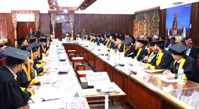
The decision was finalised during a meeting of the Land Use Council, chaired by acting mayor Sunita Dangol.
council decided to categorise land use into various sectors, including residential, commercial, industrial, agricultural, forest, public utility, and areas of cultural and archaeological significance.
Survey officer Ashok Shrestha stated that the metropolitan office utilised drone technology and DGPS surveys to complete the layer digitisation and mapping process. As part of the initiative, 12,811 roads have been mapped, with over 2,800 roads assigned original and scientific Nepali names, which have been entered into the official GIS database.
The city has digitally mapped 210,976 buildings for house numbering and household survey purposes. Of these, 25,019 buildings have already been verified. Additionally, the metropolitan authority has created digital GIS records for schools, hospitals, public shelters, rivers, heritage sites, and other public infrastructure. Officials noted that there is a legal provision to include additional areas under the classification system as required.